

The concept of history is relative. Living in the Pacific Northwest in the United States, a span of a few hundred years constitutes the sum of contemporary settlement and European colonization (with some exceptions). Many contemporary cities such as Seattle and Portland, for instance, were only formally settled in the 1850s, are were not urbanized for decades after, resulting in relatively short histories. Obviously these lands were populated for years previously by indigenous peoples, some with formal and informal settlements, however, either way, the modern urban form is young.
The eastern US has a slightly longer history, but even New York’s history of European settlement dates around 1600, so around four-hundred plus years. Many places in the world have a much different story and measure history is very different terms. Rome, for instance, offers a different scale of time, much deeper picture of history spanning millennia. Depending on who you consult, Rome was a village since the 9th Century BC and became a city around 753 BC, so has been evolving for almost 3,000 years. In much of this span “The Roman empire stretched over three continents, had 70 million people, and had a logistics and infrastructure system that kept them going for centuries.” (via Science 2.0)
A great site to explore this immense history with a unique focus on water is Aquae Urbis Romae: The Waters of the City of Rome – a long-term project of Katherine Wentworth Rinne from 1998 to present, which is published by the Institute for Advanced Technology in the Humanities from University of Virginia.

A summary: “Aquae Urbis Romae is an interactive cartographic history of the relationships between hydrological and hydraulic systems and their impact on the urban development of Rome, Italy. Our study begins in 753 BC and will ultimately extend to the present day. We examine the intersections between natural systems–springs, rain, streams, marshes, and the Tiber River–and constructed systems including aqueducts, fountains, sewers, bridges, conduits, etc., that together create the water infrastructure of Rome.”

The site has a ton of information, especially great for an Italophile such as myself. The content is organized into a few categories, some of which are for archival purposes as their web presence is not longer functional, but there is info organized as a timeline (including a GIS Timeline Map), as well as by typology, and studies of topography. There are maps and a list of resources and some good primary and secondart texts available. The journal “The Waters of Rome” offers ten essays with some additional scholarship on Rome history and culture around water. I’ve yet to dive in depth into these, but look forward to it.
For hidden hydrology perspective, the Timeline features the ability to isolate typologies that allow focused look at systems. A section of maps on Hydrological Setting, shows the hidden streams overlaid on modern (c. 1998) city grid and topography. “This map represents a composite of data drawn from archaeological, geological, historical, and literary evidence concerning the hydrological structure of the intramural city and its immediate surroundings. It does not represent a specific point in time, but rather represents an amalgam of hydrological features, most of which have been known since antiquity. However, water is dynamic and therefore constantly changing. Springs can disappear, dry up entirely, or reemerge at a different, sometimes distant location. Streams and rivers can change course, and the profiles of their beds are constantly changing as well.”


This information is activated by translation into three-dimensional views in the Topography section, providing some more info on the landform that relates to historical streams. They are developed thematically as well, with a number of studies such as hydrology and aqueducts serving the baths and fountains in the city.


Today this is somewhat simplistic in terms of graphics. In 1998, this would have been pretty cutting edge stuff. Similarly, the GIS Timeline map offers both spatial and temporal info in a more interactive format, with the ability to customize. This is the best info I’ve found on historical hydrology of Rome, via the Geographic features typology that include Marshes, Swamps, Rivers, Streams, and Springs, a few of which are plotted below.

The focus is on water, but not just streams, there’s a range of other typologies, including water distribution, infrastructure, flooding, markets, walls, neighborhoods (rione), baths, fountains, and more. The icon based map allows for more info via pop-ups.

A legend shows the span on types of info captured, along translation of English and Italian terms.

The temporal aspect is a interesting idea, as it allows a fourth dimension to the mapping that seems vital to historical study. The slider (seen below) allows for all years to be selected, or to select individual decades, and eras, to capture snapshots of info at certain time frames. As mentioned on the site: “Follow the urban development of Rome through a unique G.I.S. timeline map that chronicles changes to the water infrastructure system from 753 BC through the sixteenth century. See how sewers, aqueducts, fountains and other hydraulic elements changed the face of Rome, as important people like Agrippa, Emperor Nero and popes Sixtus V and Clement VIII, among others, used water as an element of political control.”

This obviously works better for cultural features like buildings and fountains that have specific dates of creation and erasure, so not sure if it captures erasure of surface streams into subsurface routes. However, with enough information, you could show the disappearance over time for any water system and include animations at a time step (similar to this historical study of the Mississippi River gleaned from the Fisk maps). Something worthy of exploring with current GIS and animation technologies.

The site is plagued with some old technology in terms of web design (frames, for instance, which are awful for navigation), as well as the mapping and animations discussed above. This is tough, as its always hard to keep things up to date. Over time, something using the most recent tech quickly becomes outdated, especially on a project that spans decades such as this. That said, the content holds up very well, and some easy fixes would be to remove some of the clunky old maps and convert these to simpler embedded open source interfaces (Google Earth, etc) – as well as to be able to download GIS files of some of the key info. Sounds like from some of the notes, there’s some updates in the works, so look forward to reaching out to Ms. Rinne and see what she has planned.
The idea of deep history in tied closely with the maps, and the long history of mapping Rome is a fascinating rabbit hole to dive into. The site offers a link to many Print, Drawing, Map and Photographic collections of Rome, where you will find the the key source in this exploration, the map ‘Roma’ by Leonardo Bufalini in 1551, which shows a somewhat developed city plan along with rudimentary topography and hydrology from almost 600 years ago.

The site offers each of the tiles of the map, (noted: Courtesy of Kersu Dalal, Johnson Fain Partners, Los Angeles). This shows a lot of amazing detail, and hints at slopes and ridges and depressions that impact water movement.

A figure from the 1897 publication “The ruins and excavations of ancient Rome” by Rodolfo Lanciani shows the ‘Hydrography & Chorography of Anicient Rome’, capturing many of the streams and marshes shown on other maps.

And zooming about a bit, showing the broader area of “The Tiber & Its Tributaries” by Strother Smith from 1877.

The most famous map of Rome is one of my favorites, not mentioned much on this site, but well known. Almost 200 years after the Buffalini map, the 1748 Map ‘Grande Pianta‘ by Giambattista Nolli (more commonly known as the Nolli map). This work of art is infamous for it’s detail and unique showcasing of public/private spaces inside and outside of buildings, versus pure figure-ground relationships. I’ll discuss this map and a few others from Rome in a follow-up post.

Images on this post from the site Aquae Urbis Romae: The Waters of the City of Rome unless otherwise noted.
Header image: Castel San’t Angelo from the South, painted in the 1690s by Caspar Andriaans van Wittel


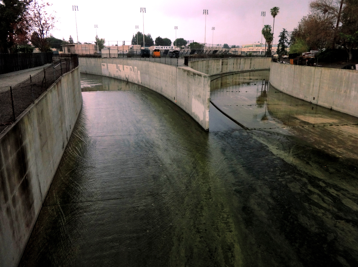
 The previously mentioned San Francisco Estuary Institute, which was responsible for some of the

 There are also


 in interest related to the connection between hidden hydrology and
 There are also a number of other urban explorations and art installations worthy of mentioning in brief. These precedents offer some interesting examples of engaging larger communities with hidden rivers and creeks, through


